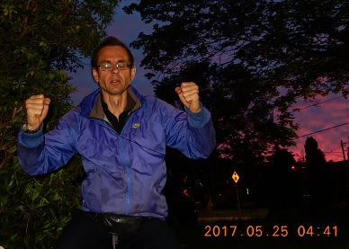
04:06 Wake up without an alarm – new record. Last record was 04:39 AM several years ago.
 |
 |
| 04:46 Depart from home. No breakfast, no bath. Just 4 operations: print latest weather forecast, attach bike to car, pickup plastic connectors and tubes for water filter, load tarps, extra blanket, hot tea. It was still dark outside. | I took route 95/128 to 95 North to NH route 4 towards Conway. I was listening French audio lessons while driving. +12.5°C = 55°F |
07:30 Arrive to Glen Junction restaurant, but there is no appetite for breakfast yet. Continue on route 16.
08:00 Morning routine, first taste of bugs. They are menacing.
There were no open breakfast places in Gorham, NH at this time – only fast food places.
09:00 Walmart in Berlin, NH – fresh fruit for the next 5 days ($22) – 3 bananas, watermelon, 2 cantaloupes, bag of green apples, bag of Halos mandarins. It is surprising how good a selection of fruits they have here.
 |
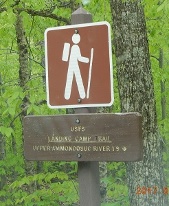 |
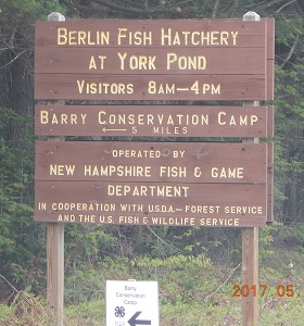
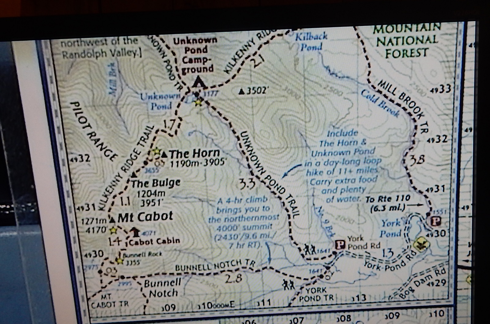
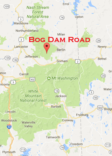
| 09:24 Turn from Route 110 to York Pond Road. Because there are so few, they actually like guests and hikers here. Small white sing point to Barry Conservation 4-H Camp – kids summer camp at the end of York Pond Road | 09:51 Arrival to Landing Camp trail-head on Bog Dam Road +13.5°C – Odometer 201.6 mi. Original plan was to camp somewhere here. The name of the trail is really clicked with me. |
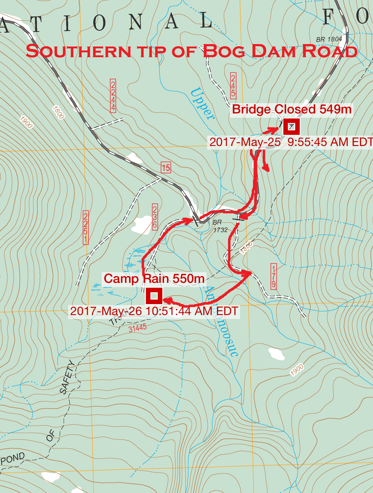
10:02 Bog Dam Road is closed at the brook 7.2 miles into it right after FR 245. Elevation 549m.
10:10 – First entry into Notebook. 202.5 miles from home. No cell signal, plenty of bugs, cloudy and rain is approaching
Prepare for the first operation or excursion: gloves, small backpack, bug spray, bike, and I am off to search for a good camp spot.
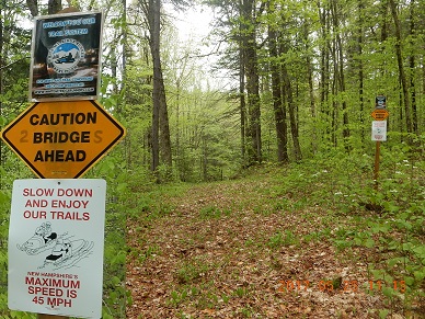
10:30 – explore local forest roads (FR) beyond the closed bridge on bike. First unmarked FR is a complete disaster – no path and thorny saplings everywhere. First attempt to discover parallel ATV trail shows completely overgrown and abandoned clearing. Many hove prints of large animals.
 |
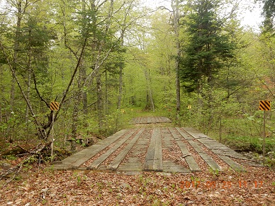 |
| I began to circle around the tip of Bog Dam Road following the ATV trail and . . . | 11:15 – 11:26 I discovered a huge clearing, crossing of several ATV roads and abandoned Pond of Safety trail. Walk pass future camp site. The place seemed light, sunny, open and off the abandon road. |
11:26 On the way back to the car discover either beaver pond or bog full of lonely branchless tree trunks, plenty of moose droppings
11:40 To return to the car I must cross 3-5-yard-wide river
This is an abandon FR 236 at the very southern tip of Bog Dam Road
Return to the car and I have to make a decision: should I drive back a mile to Landing Camp Trailhead as originally planned, or give a newly discovered clearing in the woods a try. Why Landing Camp didn’t look as attractive an option? Because a configuration of the terrain. On side of BDR here is lover (western) and another higher (eastern). Very atypically, Landing Camp trail goes not up, but down following the natural contour of the terrain. It was already wet in the forest, and to go any further down into the depth of the wet forest did not seem as an attractive option. After internal struggle, I’ve decided to load backpack to the bike and . . .
12:30 arrive to FR 236 with the load – backpack, tent and another small backpack
12:53 arrive to new Camp Rain. Elevation 550m.
Start setting up the tent and tarp
14:00 rain starts as if on the schedule. Hide all belongings into the tent. The rest of the day will be almost completely in rain.
Second trip to the car to get rid of hammock and bring pillow, second insulation sleeping mat, another blanket and melon for next day breakfast.
Total time back-and-forth 1H 17 min.
16:41 – last picture of the day – sitting comfortably in the tent
17:00 Rain stopped for about an hour. Cook first dinner on alcohol stove for the first time. I cut a dozen birch planks to create a surface for stove on the ground. No chairs, no tables and last year foliage everywhere.
18:00 When first 2 cups of water for a meal where ready, I decided to venture out to get more water, but a new portion of rain resumed, and I had to turn back. It meant cold water instead of warm tea this day.
18:44 Regular entry into Notebook begins with 3 main themes:
1) Rain, 2) Ticks 3) Noises outside the tent.
19:35 Resume writing after removing 2 more ticks from thigh and groin
20:22 Early to bed after a long 16-hour day
Navigate through the List
- NH Trip May 2017 - Preparations for the trip to Bog Dam Road (2017/05/22)
- Thursday, May 25 - Drive, Search, Camp and Rain - Perfect! (2017/05/22)
- Friday, May 26 - Remarkably Unremarkable Bunnell Notch Tr. to Mt. Cabot (2017/05/23)
- Saturday, May 27 - Visibly Invisible Trail (Hunters Pass) to Ice Gulch (2017/05/27)
- Sunday, May 28 - Relax to Unknown Pond (2017/06/07)
- Monday, May 29 - Mud, jaws, bridge and rain (2017/06/07)
- Tuesday, May 30 - We are so distracted by day job from our trail lives (2017/06/08)
- May 2017 Bog Dam Road trip - Lessons learned (2017/06/11)


Be the first to comment