 Rephrasing the famous song, in the wild you acutely responsible for . . .
 Every move you make,
 Every step you take.
If you slip and fell – it is your responsibility. If you forget to pack something – it is your responsibility. There is no way of escaping this simple fact.
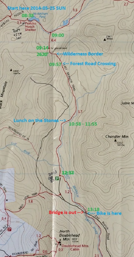
The night in the wild was quiet and uneventful. I do not know, if it was raining during the night, because I put on earplugs. I always bring them along to sleep better and ignore all the noises outside. However, tarp was very wet in the morning. I was strangely cold during the night, despite all the warm clothes and sleeping bag. Because of cold during the night, I arouse only at 07:14AM. The most unpleasant think was to put on wet socks and wet boots. I folded my things into the backpack again, and without any breakfast I was on my way at 08:38.
This time I crosses the same two water barriers (it is the same river crossing the same trail twice) just hopping from boulder to boulder almost without touching water. At exactly 9AM, I started on East Branch trail. Immediately it was obvious that this is “road” less travelled. This trail is wet, not marked, blocked by many trees and overall neglected. However, this is the only way, connecting wilderness to civilization to the South. In addition, this was the plan all along.
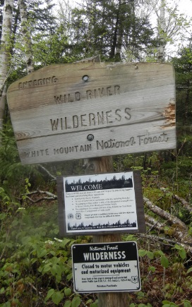
Within minutes (09:14), I have reached the highest point on this trail. My iPhone application was showing elevation 2620′. This is almost a high as Kancamagus pass. However, here you would not see cars or even people. Imagine that during the entire hike on this trail (East Branch) on a long weekend I did not meet a single hiker. Wow! This a good trail to take.
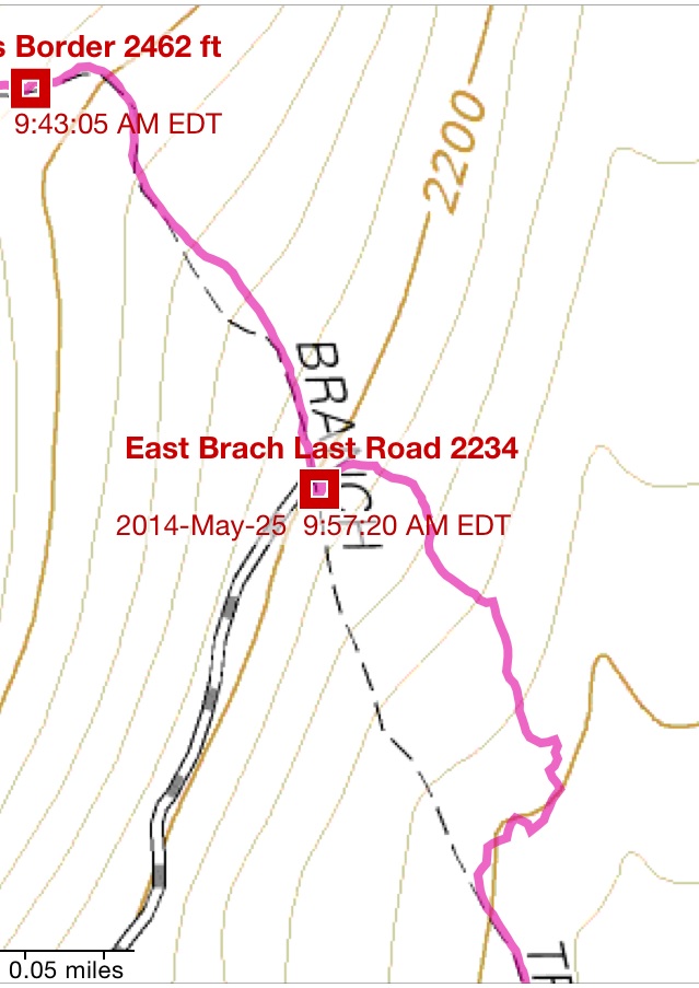
Someone diligently marked southern border of Wild River Wilderness (09:43 – elevation 2462′).
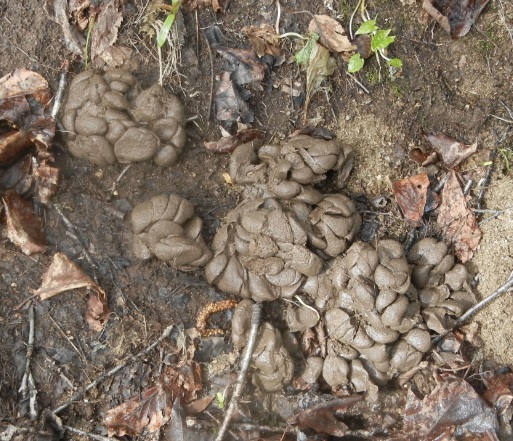
Here I noticed a slightly different animal poop. Later identification in the Internet tells me that this should be deer or elk.
Next memorable event was a forest road crossing (09:57 – elevation 2234′) that was marked on the APP TOPO map. The strange thing was that road in the direction “home” was going gently up, and road in the opposite direction that going gently down. I have decided to explore in the directing “down”. However, road quickly started to veer East, instead of desired South, and I started to scramble directly through the thick forest to return on the trail.
Around 11AM, I have stopped for lunch on the Saco riverbanks. I finished most of my food, and prepared another quart of purified water. However, I did not start drinking it, as I was still finishing sealed bottled water that I had with me.
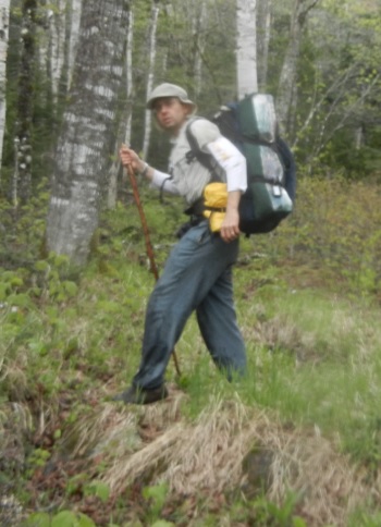
At 12 noon, I continued the hike. Here I noticed that trail is somewhat marked. You would see blue plastic rhombus nailed to the trees every minute of the hike. I was accelerating my pace, as I still could not make a final decision to ride back to the car this afternoon or tomorrow. River crossing stopped to be a big deal. I would just tear through the water after finding half-descent crossing point.
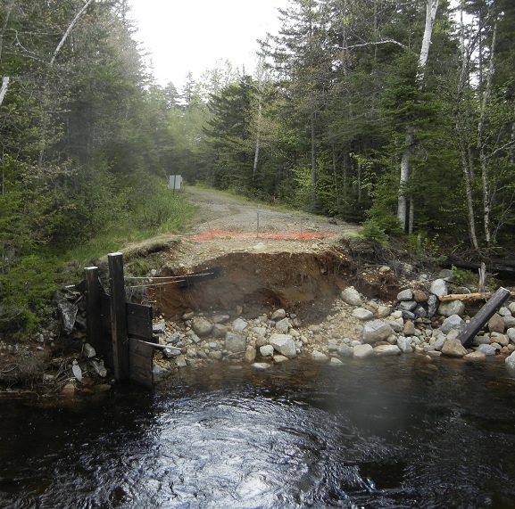
The big moment came at 12:32. I’ve reached the point where East Branch meets parking lot and maintained forest road (road 38 or East Branch Road). This section of the road still cut off from civilization since August 2011. Hurricane Irene destroyed many roads and bridges in the area, including bridge on forest route 38. Web site declares that work to restore this bridge will start in 2014 and bridge will reopen in 2015. Right now, there are no signs of any activity, except warning signs and orange plastic fence.
Navigate through the List
- 01 Crossing Wild River Wilderness - Planning and preparations (2017/05/04)
- 02 First Day – Friday, May 23, 2014 – Hide the bike and walk away (2017/05/08)
- 03 Second day – 2014-05-24 SAT - Into the wild with a plan (2017/05/12)
- 04 Third day – 2014-05-25 SUN – Back to the car and comfort (I) (2017/05/16)
- 05 Third day – 2014-05-25 SUN – Back to the car and comfort (II) (2017/05/20)


Be the first to comment