 Let’s say you moved pictures from your smart phone to a PC, but you want to know, where this picture was taken. Most likely picture would have a GPS information attached to it (unless you explicitly disabled that feature on your phone). Open picture properties (Alt + Enter) and check the GPS section of the picture’s properties (see image).
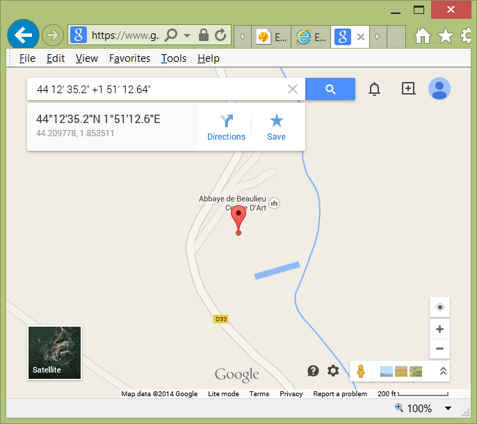
You can enter this information into Google maps search box to get an exact location, where this picture was taken. Enter the information you see as:
44 12' 35.2" +1 51' 12.64"
Please note that “plus” sign is optional. However, most locations in Americas will have a negative sign in front of the second coordinate.
You will get an exact spot, where this picture was taken:
Beaulieu-en-Rouergue Abbey
Beaulieu
82330 Ginals
France
H ow to copy and paste GPS coordinates from the image?
Problem: What is the best and fastest way to to copy and paste GPS position information from picture properties, instead is just typing it in manually?
So far I found this cumbersome multistep procedure:
=01= Upload your picture into Picasa web (https://picasaweb.google.com)
=02= Click the link “View in Google Earth” (you need to have Google Earth installed on your PC)
=03= In Google Earth under picture properties you can now copy both latitude and longitude of the picture in this format:
44°14’7.73″N
71°10’22.49″W
 You do not have to use “minus” sign here as it was replaced with “W” for West.
Let’s hope that Microsoft or Google will simplify this awkward procedure. Ideally you should be able to copy GPS coordinated right from the image properties screen. If not, why can’t I just drop an image into Google Earth and get the exact location and coordinates this way.
Finally, I found a simple two step procedure:
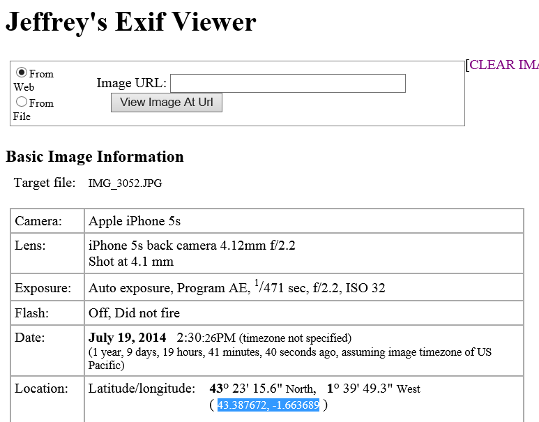
01 Upload image to Jeffrey’s Exif Viewer:
http://exif.regex.info/exif.cgi
02 Copy and paste GPS coordinates OR just click on Google, Yahoo!, Bing or several other map provider links to view the exact location of the image on the map. Wow!
Thank you Jeffrey!


Be the first to comment